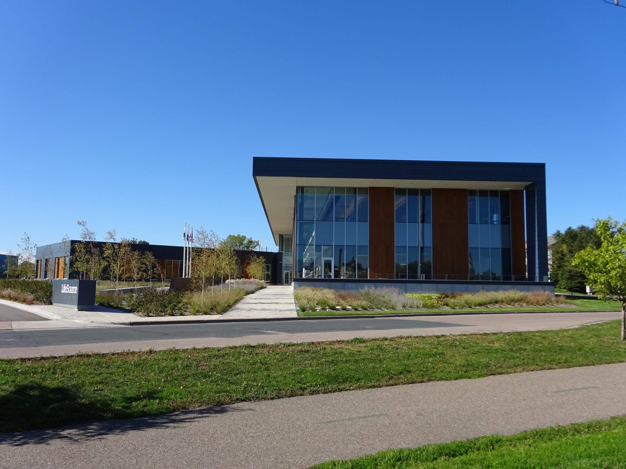
ELEVATE ANY FACILITY

With Beautiful Outdoor Spaces

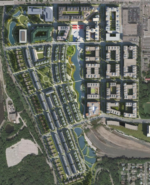
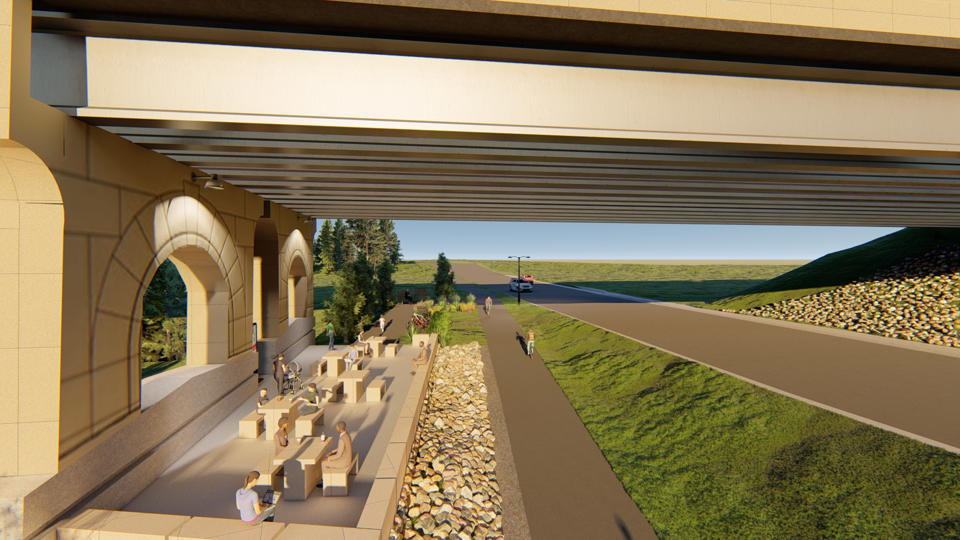
The landscape architects and urban designers at Sambatek provide planning and design of parks, park systems, and trails for government entities and private developers. This work includes comprehensive system planning, site schematics, plantings, site furnishings, and construction drawings. Our parks, trails, and park systems can be designed as individual projects or elements of a comprehensive plan.

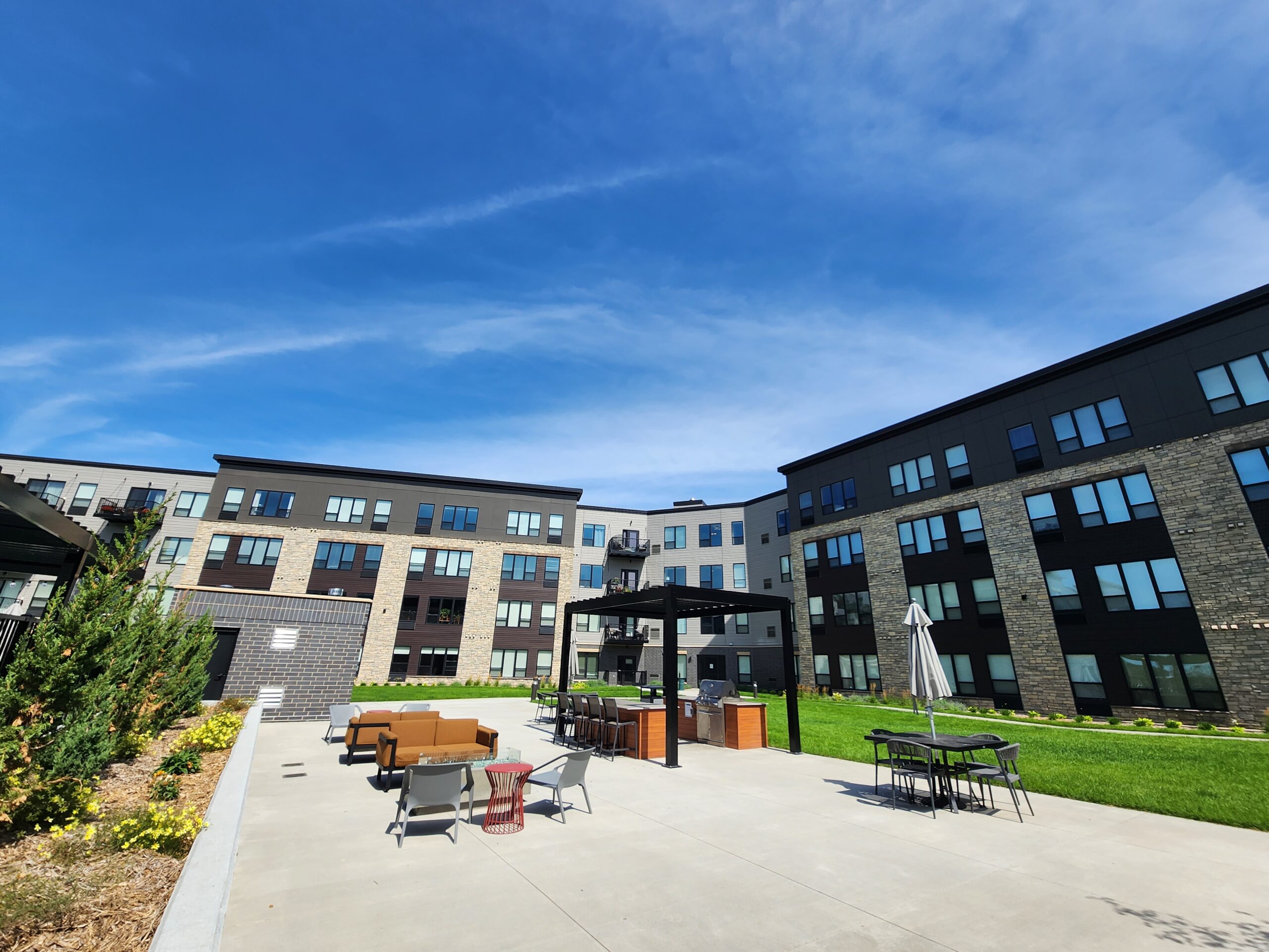
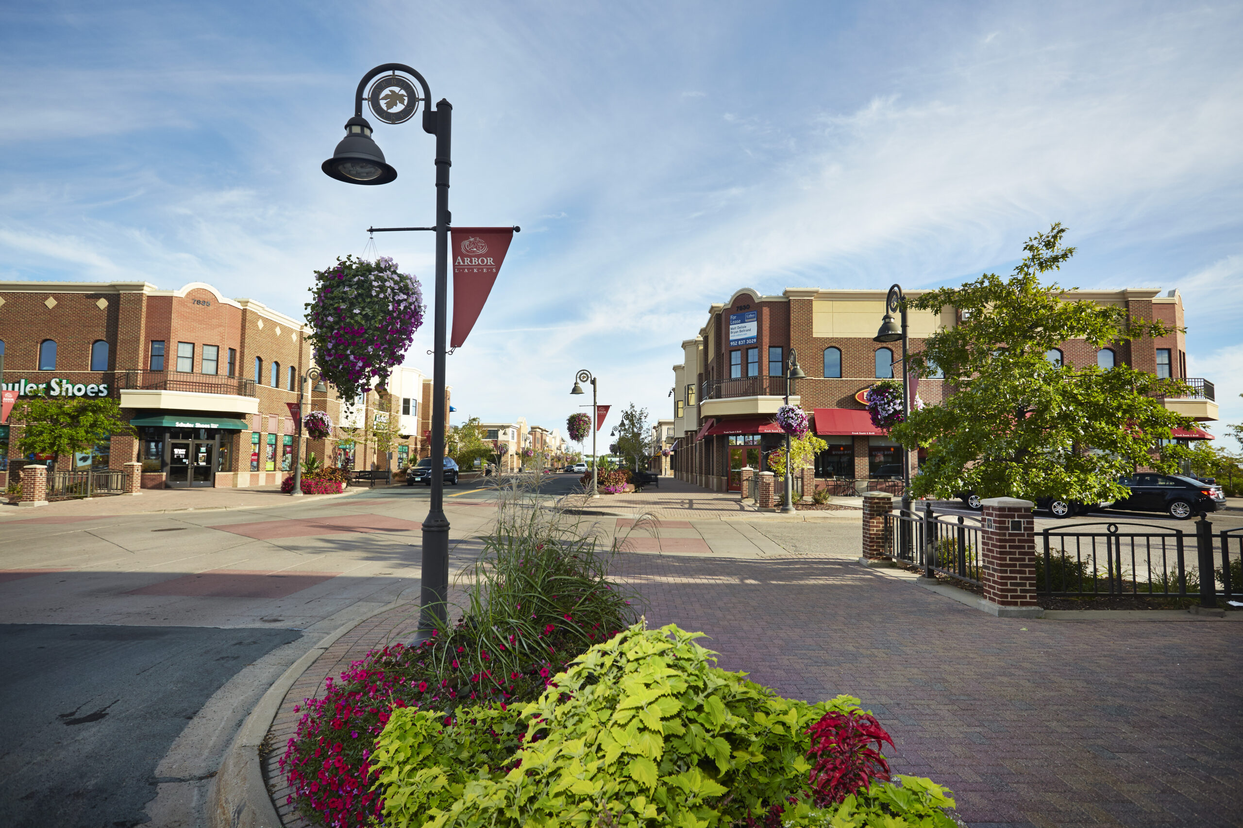
Our park and trail design is incorporated into residential and multiple-use neighborhoods to achieve a greater quality of life for residents. We integrate active play spaces with public open space amenities such as wetlands, creek corridors, and riparian buffers to maximize the benefits of both. These features help form a neighborhood identity and provide lasting value to residents and the broader community.

Sambatek’s planners and landscape architects team up to help communities assess their existing park facilities, identify gaps in their recreational systems, gauge future needs, and map out budgetary factors to consider—all within the framework of a master plan for the community’s park and trail system.

Explore Parks and Trails Projects

Markets We Serve

Sambatek’s civil engineering, planning, and surveying services support projects in a variety of market sectors. Our expertise extends far and wide. With a deep understanding of both public and private sector needs, we bring valuable perspectives to any project.

Parks and Trails Services

Wetlands Wet Marsh

Environmental Planning Our environmental planning experts have extensive experience preparing and leading environmental review efforts. We specialize in AUARs, EAWs, Phase I ESAs, and EIS reports for private land development and public transportation projects.

Digital elevation model. GIS product made after proccesing aerial pictures taken from a drone. It shows city urban area with roads and suburbs

GIS Trust Sambatek to provide comprehensive, professional Geographic data analysis and mapping services.

Landuse Planning

Land Use Planning We’re well-versed in interpreting city codes, land use and zoning regulations, and comprehensive plan guidance. We can help you research developable land opportunities, identify TOD sites, prepare site investigation reports, conduct reports, develop GIS maps and graphics, and more.

LifeSource Landscape Architecture

Landscape Architecture and Design Designing developments and places for people.

Public Engagement We have guided our clients through controversial issues on projects ranging from light rail transit to private developments. Let us take the lead—whether it’s obtaining feedback from an entire community or reaching out to potentially impacted stakeholders, our efforts ensure your projects reflect the community’s goals.

Regulatory Approvals

Regulatory Approvals Securing permits at the federal, state, and local levels.

Site Design Aerial Shot

Site Design, Selection, and Planning Initial designs and plans to help assist in determining how your project will evolve.

Blue Line Light Rail

Transportation Planning Our planners understand the connection between the community, land use, and transportation, as a mode and an infrastructure. We have experience leading and assisting in developing regional transportation systems, visioning, and corridor studies.

All Services

All Services

Sambatek Services

Sambatek’s body of services includes civil engineering, land surveying, environmental services, and site planning. Let our expertise help your next project be successful.

Civil engineering Environmental Planning Surveying All