Our planners, landscape architects, and environmental scientists work together to deliver excellent planning services that bring project visions to life.
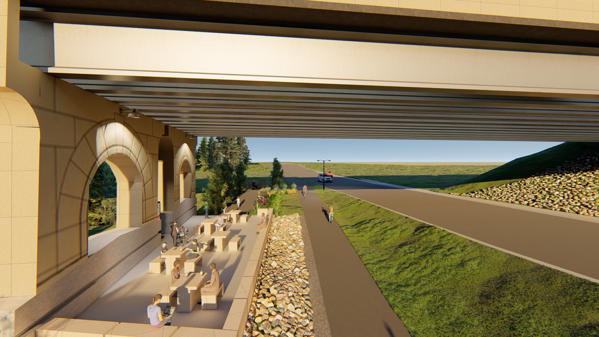
Sambatek’s robust team of planners provide expert planning solutions for public and private clients. Our planning practice is focused on transportation planning, public engagement, environmental planning, and land use planning.
Sambatek’s multidisciplinary approach to planning results in projects that positively impact the community—and the environment—for years to come. Our planners are seasoned and versatile, and they possess a wide range of expertise that is instrumental in the success of every project.
We work closely with civil engineers, landscape architects, and environmental scientists to execute projects skillfully. Our collaborative approach to planning results in projects that foster a unique sense of place, honors our clients’ visions, and puts the community at the forefront of every project.
Excellent Planning Services

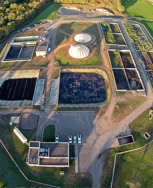
Environmental Planning Our environmental planning experts have extensive experience preparing and leading environmental review efforts. We specialize in AUARs, EAWs, Phase I ESAs, and EIS reports for private land development and public transportation projects.
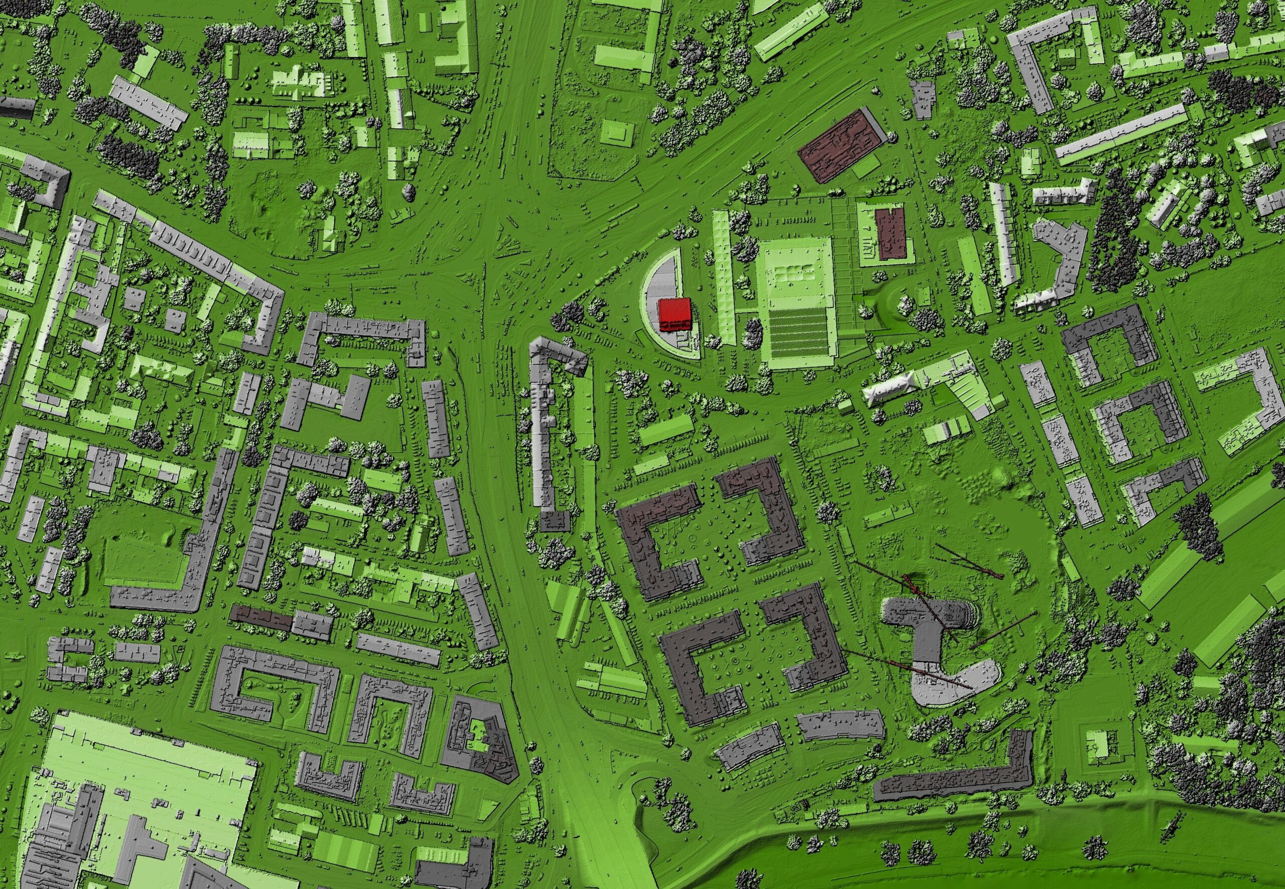
GIS Trust Sambatek to provide comprehensive, professional Geographic data analysis and mapping services.

Grant Writing and Application Process With expertise in transportation and recreation, we can help you secure federal grants for your project.

Knowledge of Funding Sources Secure federal grants for transportation and recreation and navigate complex funding programs.

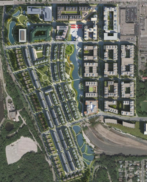
Land Use Planning We’re well-versed in interpreting city codes, land use and zoning regulations, and comprehensive plan guidance. We can help you research developable land opportunities, identify TOD sites, prepare site investigation reports, conduct reports, develop GIS maps and graphics, and more.
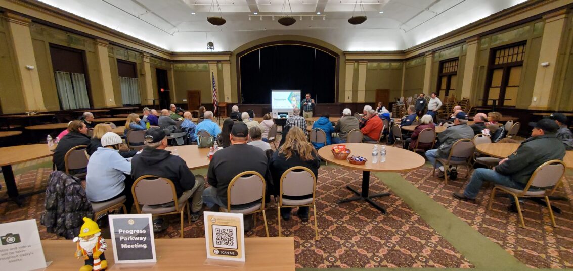
Public Engagement We have guided our clients through controversial issues on projects ranging from light rail transit to private developments. Let us take the lead—whether it’s obtaining feedback from an entire community or reaching out to potentially impacted stakeholders, our efforts ensure your projects reflect the community’s goals.

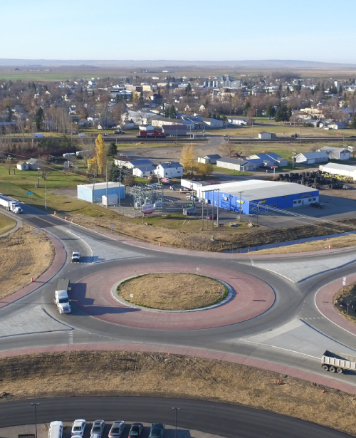
Transportation Planning Our planners understand the connection between the community, land use, and transportation, as a mode and an infrastructure. We have experience leading and assisting in developing regional transportation systems, visioning, and corridor studies.

All Services
Explore Planning Projects
Markets We Serve
Sambatek’s civil engineering, planning, and surveying services support projects in a variety of market sectors. Our expertise extends far and wide. With a deep understanding of both public and private sector needs, we bring valuable perspectives to any project.