MAKING RENEWABLE ENERGY
Accessible for All
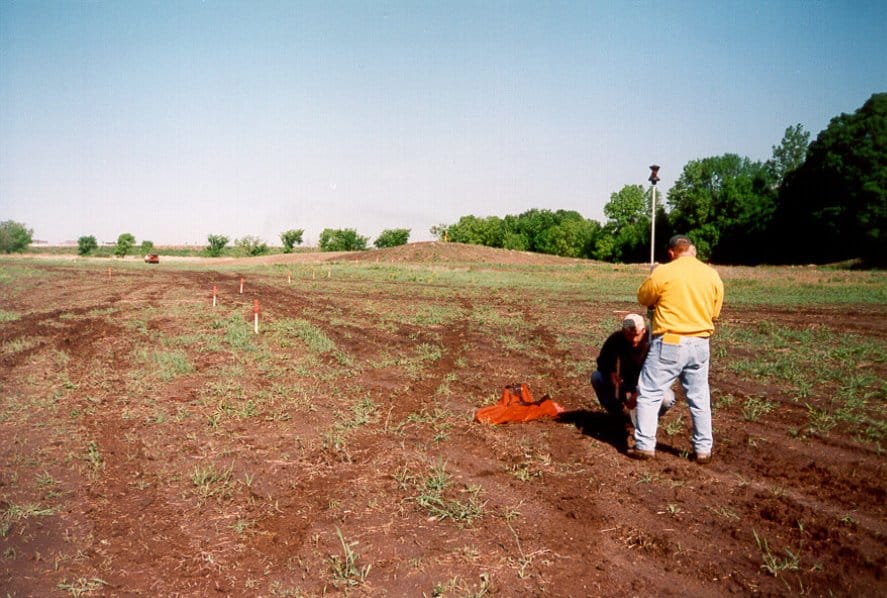
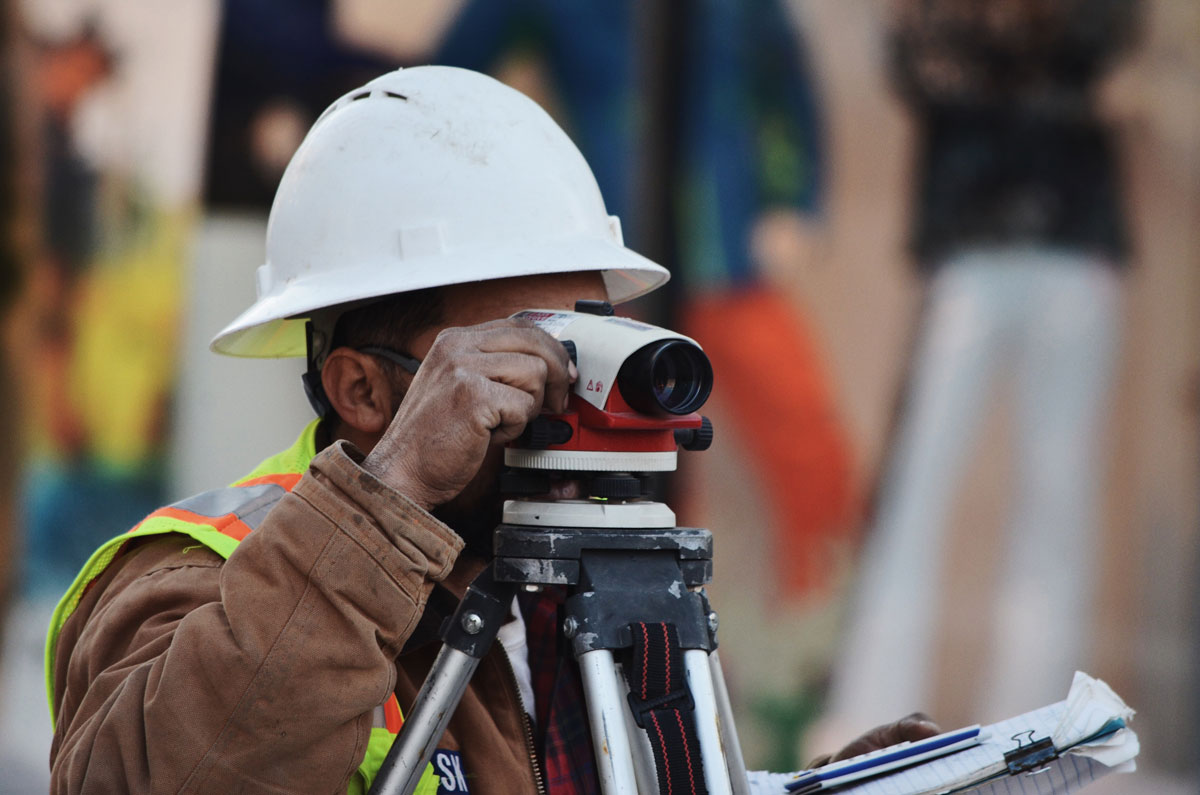
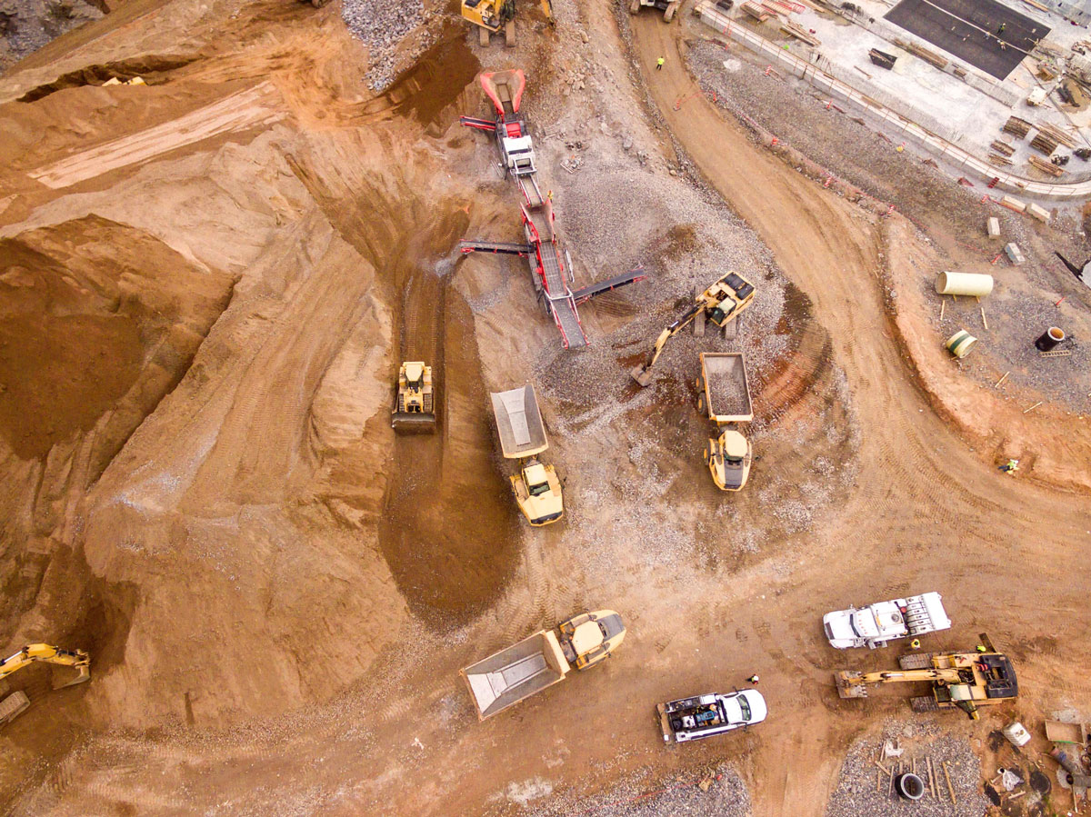
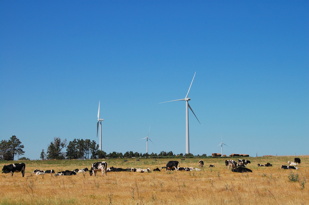
Our wind energy development clients demand high competence and complete accuracy from their survey and staking partner. The Sambatek difference is that we deliver without fail.
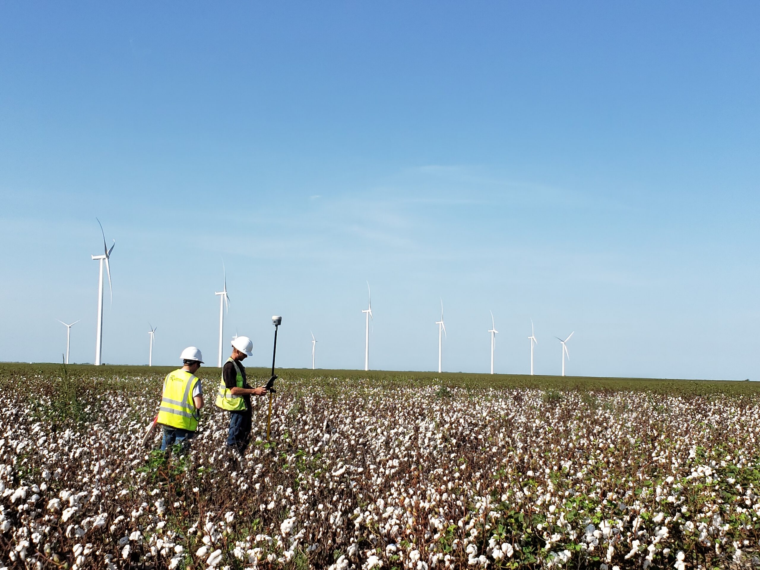
The Sambatek field service team utilizes the latest equipment in Global Positioning Systems (GPS), CAD software, and mapping tools to ensure the job is done right every time.
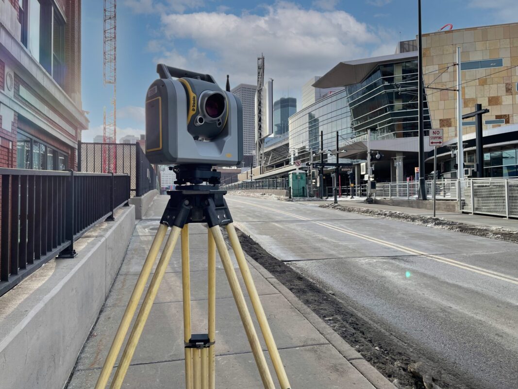
Surveying Equipment:
- Data Collectors: Trimble TSC7
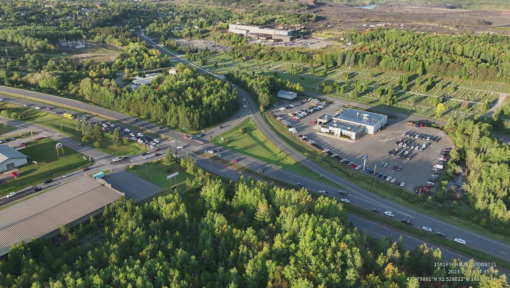
- Drones: High-Resolution Aerial Photos and Videos
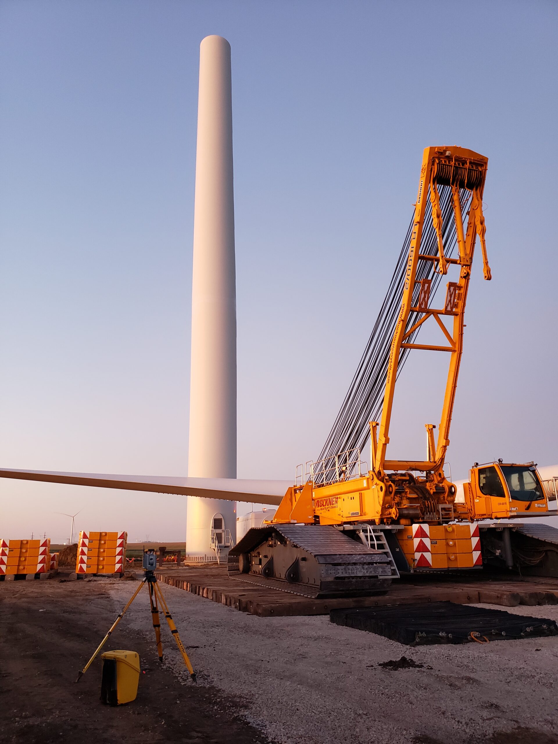
- GPS: Trimble R10-2 (VRS and RTK capabilities)
- Robotics: Trimble S6
You will find that our team has the know-how to understand the environmental nuances and constructability side of the business to ensure that you sleep well at night.
Capabilities Include:
- Construction Surveying and Staking (laydown yard, roads, turbines, electrical, etc.)
- Environmental Permitting and Support
- Hydrology Design
- Land Surveying – ALTA, Boundary, Topographical
- Phase I Environmental Site Assessments (ESA)
- Post-Construction Surveys & Environmental Site Restoration
- Rare Threatened Endangered (RTE) Species
- Stormwater Pollution Prevention Plans (SWPPP)
- Utility Crossings and Site Constraints Mapping – Coordination
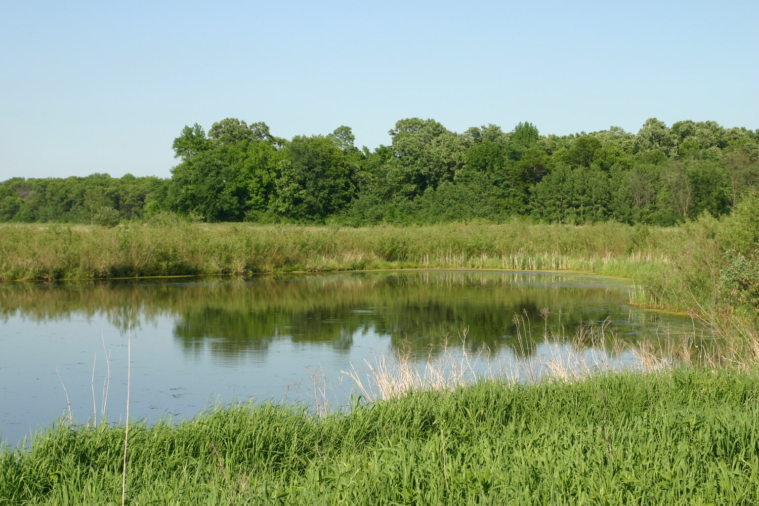
Wetland Delineations
In support of your wind energy project, we also have industry-leading structural engineering partners aligned with our field services team to provide you the ease of a one-stop shop if that is what you desire. The bottom line is that we can help you with your projects from start to finish.
Explore Wind Energy Projects
Markets We Serve
Sambatek’s civil engineering, planning, and surveying services support projects in a variety of market sectors. Our expertise extends far and wide. With a deep understanding of both public and private sector needs, we bring valuable perspectives to any project.